EFAS-IS

EFAS version 3.5 was released on Thursday 5 March 2020. It contains updates on static maps (rivers drainage network in Albania) and on the LISFLOOD model. Managing of riverbed and floodplain flow in LISFLOOD has been improved and all outputs are now saved in double precision. EFAS 3.5 is not a major update since the impact on the discharge is very limited. However, since the model was updated over Albania it comes with a new EFAS climatology.
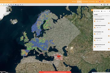
There were several changes to the web interface, including a number of bug fixes. Here is a summary:
- EFAS version numbering is now shown in the Layer List
- Buttons were added to hide and remove all layers in the Layer list
- A button was also added in the pop-up of the reporting points that explain the graphs with an hyperlink to the wiki page
- Changes to the feedback forms submissions were made so that only one partner can submit a feedback for a specific notification, but at the same time the same notification can receive different feedbacks from different partners.
- The symbols and legend for the Reporting Points to highlight basins <2000 Km2 were changed
- The colours of the notifications and legend in the viewer were changed to be clearer
- The Country Borders layer from the static layer tab, this layer will be visible only to the partners that can see the other restricted layers as the water Balance. Other users will only be able to use the country borders layer by changing the background map.
For more information on this and previous releases, please see the EFAS wiki.