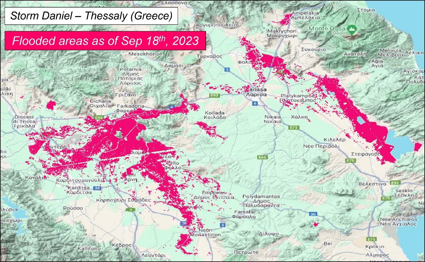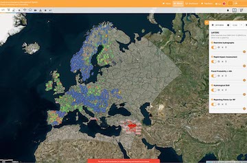
On January 23rd the Global Flood Monitoring (GFM) of the Copernicus Emergency Management Service releases its v3.0.0 featuring many major changes regarding both the data production and the visualisation of the output layers. Concerning the latter, the flood extent itself will be shown using a shade of magenta instead of the previous light blue, though the current colour coding is kept for both reference water mask and the full water extent. Furthermore, the bounding boxes of the Sentinel-1 scenes including the flooded areas will be shown in different colours (red/green/blue – previously orange/blue) to help end users to identify Sentinel-1 scenes with potential significant floods faster.
The underlying datasets have also been updated increasing the accuracy of the detection of the actual inundated areas. The permanent and seasonal reference water masks are now computed on a 5-year-long span, whereas the exclusion mask has been improved through bringing land cover parameters up-to-date and the fine-tuning of disturbing effects.
In addition, the parameterisations of two of the three algorithms have been optimised and will allow for an improved and more accurate flood detection.
On the data processing side, the refinement of the ingestion algorithm and the automatic discarding of invalid data, is expected to improve the runtime of all flood algorithms and reduce the production time. For further details please check the GFM wiki.

